Our work
Environment Plans
For over 25 years Cadeema have been assessing site suitability and compiling associated Environment Plans for land uses including wastewater application, recycled water reuse, biosolids application, and for solar and wind farms.
• Health and Environmental Management Plans (HEMP)
• Environment Improvement Plans (EIP)
• Environmental Impact Statements (EIS)
• User Site Management Plans (USMP)
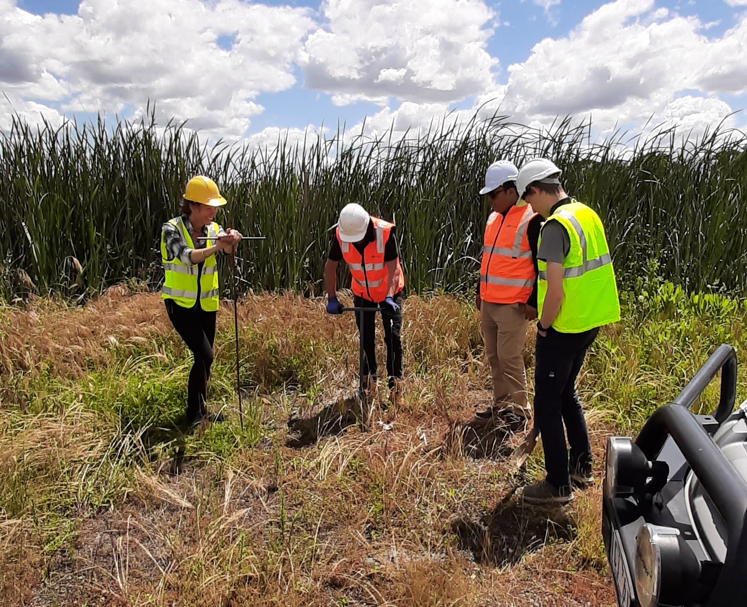
Cadeema’s scientists and technicians thoroughly assess the site, undertake comprehensive analyses of the proposed land use, identify and rate risks, and then formulate management and monitoring strategies to not only minimise the risk of adverse environmental impact, and to ensure sustainable and compliant operation, but to also ensure practical, manageable and successful ongoing land use.


Land Contamination
Whether it be determining the best strategies to assess land, or with regulatory authority compliance, EPA guidelines, general site compliance assessments, targeted assessments of soil, water or groundwater, or with detailed assessments of sites to determine the absence of contamination, risk of contamination, or the presence of contamination, Cadeema have it covered. Cadeema are consistently working on a range of land contamination projects often in conjunction with regulatory authorities, EPA, and with EPA approved Environmental Auditors. Contamination investigations are typically instigated when planning for land use change or modifying existing sites.
• Potentially Contaminated Land Assessments
• Preliminary Site Investigations (PSI)
• Environmental Audits
• Preliminary Risk Screening Assessments (PRSA)
• Detailed Site Investigations
• Soil Analysis
• Surface Water Analysis
• Groundwater Analysis
• Contamination Clean-up
• Remediation Action Plans (RAP)
Cadeema’s scientists and technicians have access to the latest equipment, employ contemporary contamination assessment methodology, utilise a range of specialist laboratories for contaminated materials assay, can accurately measure contamination risks, understand the science behind the various contaminant scenarios, formulate practical remediation and clean-up strategies, and strive to make the clients contamination assessments as streamlined, cost-effective and practical as possible whilst maintaining compliance and approval.
Environmental Monitoring
Be it soil, water, groundwater, vegetation, crops, fauna or trees, Cadeema have it covered when it comes to the scientific assessment of environmental features. We assess the status, impacts and risks associated with environmental features prior to development, during project implementation, on a regular (annual) basis during site or project operation, and also assess ongoing impacts or results from defunct sites, land remediation, and land reclamation projects.
We specialise in the regular monitoring of wastewater treatment and storage lagoons, recycled water irrigation sites, biosolids and waste application areas, groundwater monitoring bores, agricultural/horticultural ventures, natural bushland/features etc.
It may be a detailed annual program to assess risks associated with adverse human health, animal or environmental feature impacts from waste treatment, storage or beneficial waste reuse scheme . Alternatively, it may simply be a one-off assessment of crop impacts from neighbouring land uses such as dust, agricultural chemicals, irrigation, salinity, groundwater, surface water run-off, weeds or stock/crop impacts.


Site and Soil Suitability
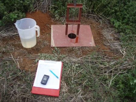
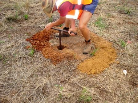
Cadeema regularly assess sites, and in particular environmental features on adjoining sites, for a range of existing and potential land uses. This typically involves detailed soil assessments which may be for agricultural/horticultural crop suitability, soil productivity potential, drainage, irrigation suitability or suitability for clay lining of a dam.
Site assessments can be undertaken prior to purchase, prior to development, can assess the feasibility of a range of land use proposals, or maybe to provide sufficient information for regulatory authority approval.
Cadeema map soils, assess soil chemical characteristics, assess vegetation, analyse groundwater, and measure and map topography, landforms, geology and geomorphology. These assessments help clients target the most appropriate and effective areas for specific land uses.
Assessments provided by Cadeema can provide practical and efficient development recommendations and ongoing management strategies; these may include soil amelioration (gypsum, ripping and hilling) recommendations, soil fertiliser (soil nutrition) application recommendations, irrigation system design information (root zone and soil water holding capacity), erosion control, salinity or sodicity mitigation etc.
Photo Gallery
GET IN TOUCH TODAY, ASK A QUESTION OR DISCUSS YOUR REQUIREMENTS, WITH NO OBLIGATION.
Send us a message using the form below, and one of our staff members will be in touch with you soon to discuss your needs.


